National Fire Situational Awareness Map
View the current and past decade of wildfire history using an interactive map that allows users to view, research, and download incident data from across the country.
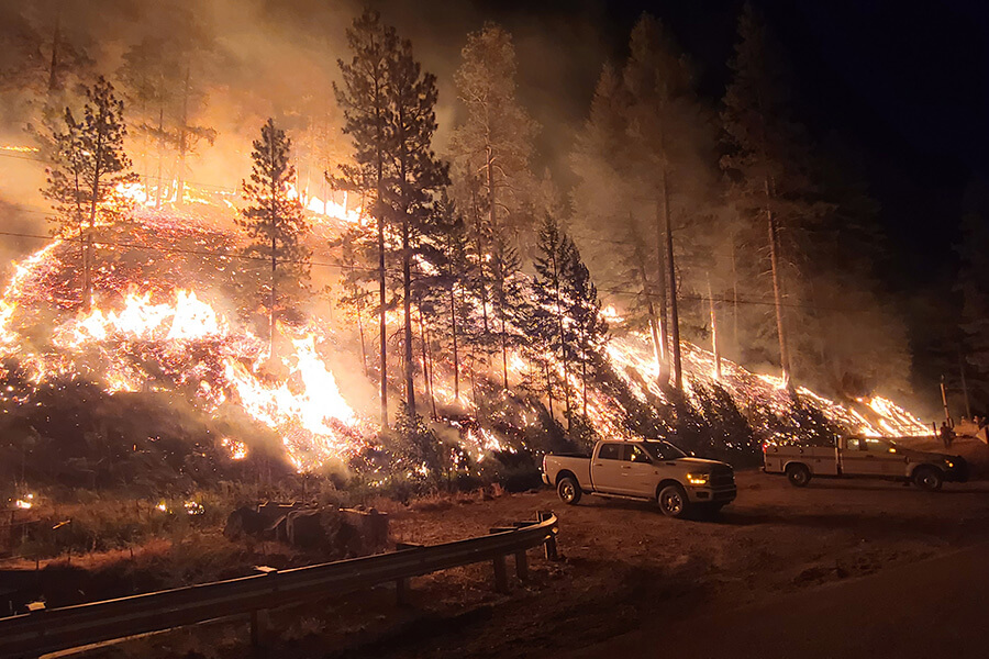
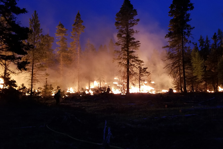
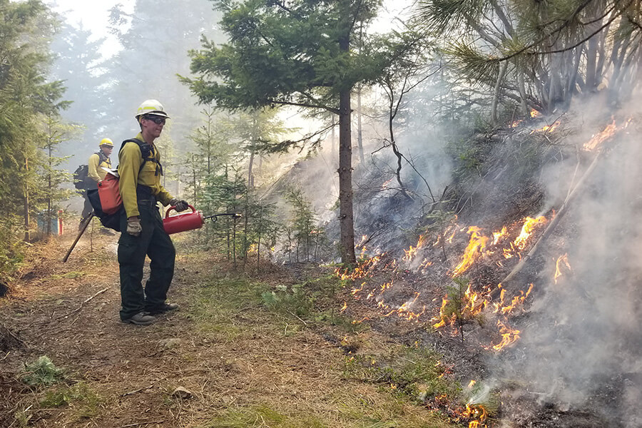
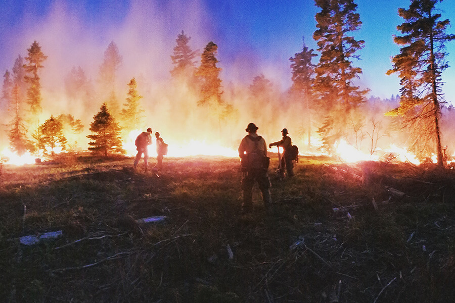
“The one thing Washington State east slopes of the Cascades can predict, annually, is a wildfire.” – Gary Berndt
Watch the video: