Find information about your property
Kittitas County COMPAS is an interactive map that provides property specific information, including fire districts, land ownership, and critical areas, which can serve to help property owners better plan ahead for wildfire. Users can also explore property details alongside valuable information on other factors such as slope, flood zones, and land use. For further direction […]
Learn about Wildfire Risk
Under direction from Congress, the USDA Forest Service created an interactive tool to explore wildfire risk nationally. Wildfire Risk to Communities is a free, easy-to-use website with interactive maps, charts, and resources to help communities understand, explore, and reduce wildfire risk. It was most recently updated in May of 2024. Much of the risk associated […]
Forest Health Treatments
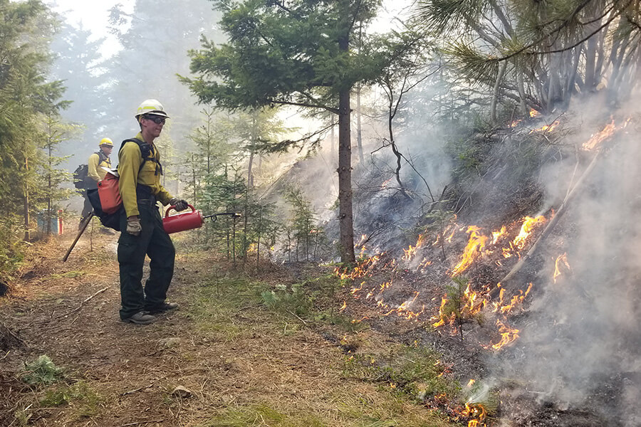
Explore treatments with the Forest Health Tracker! Across Washington, partners have been working together to increase forest restoration and reduce fuels for wildfire. There are many effective ways to treat forested land, from prescribed fire to thinning and chipping. The Washington Department of Natural Resources’ Forest Health Tracker Project Map is an interactive way to […]
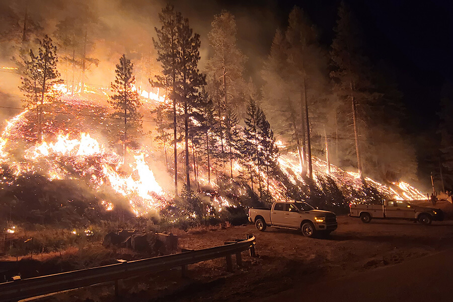
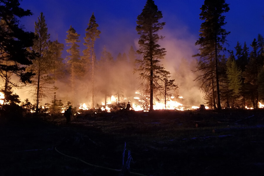
Wildfire History
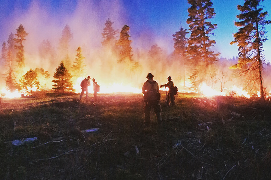
National Fire Situational Awareness Map View the current and past decade of wildfire history using an interactive map that allows users to view, research, and download incident data from across the country. “The one thing Washington State east slopes of the Cascades can predict, annually, is a wildfire.” – Gary Berndt Watch the video: